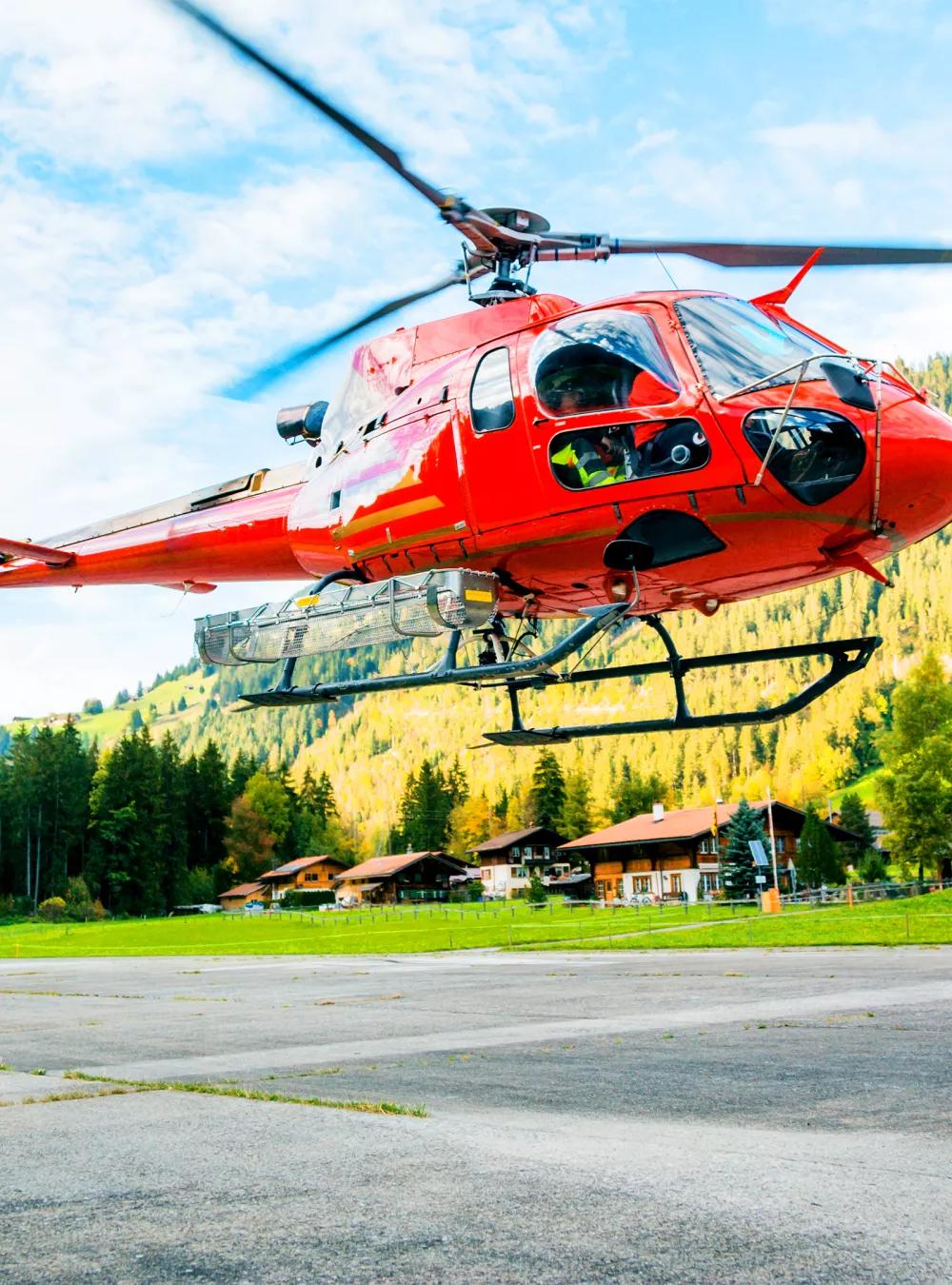
Early awareness of hazardous conditions is critical to helicopter flight safety. MITRE developed problem-solving tools, available to license, that give pilots advance warning about developing dangers—and ways to respond to them.

New Tools Give Helicopter Pilots a Safety Lift
A helicopter pilot delivering workers to an ocean-based oil rig suddenly encounters blinding rain. An air ambulance pilot rushing to the scene of an accident almost clips a hard-to-see utility wire. An updraft from an Alaskan glacier sends a tourist helicopter into a dangerous spin.
These are just a few of the many hazards helicopter pilots face daily. Because of their unique flight characteristics and the many dangerous missions they fly, helicopters crash at a much higher rate than commercial airliners. And when they do, the fatality rate is much higher.
Now MITRE is providing new tools to help move the rotorcraft safety needle forward.
MITRE, operator of the Federal Aviation Administration’s (FAA) federally funded R&D center, has created an array of rotorcraft-specific applications designed to detect and mitigate some of the most common—and most dangerous—safety issues helicopter pilots encounter.
To enable the broadest possible adoption, we make these safety features available for license. Interested companies can incorporate them into their pilot-support software products.
Avoiding a Spiral of Developing Dangers
One of the most dangerous conditions a helicopter pilot can encounter is “vortex ring state.” This is when the vehicle descends into the vortices, or whirlwinds, created by its own rotor blades. It can cause the helicopter to lose lift and—if not corrected—to descend faster and faster.
“This is a rapid-onset condition that often occurs close to the ground, and it can bring a helicopter down with little warning,” explains development team member Steven Estes. In fact, experts speculate that vortex ring state caused the crash of an Army helicopter during the 2011 operation in which Osama bin Laden was killed.
“Our algorithm detects factors that cause a vortex ring state to develop and issues a warning to the pilot so they can take corrective action,” Estes says. “A second algorithm identifies the possible onset of vortex ring state and alerts the pilot to initiate escape maneuvers.”
Another danger is a destabilizing phenomenon known as loss of tail rotor effectiveness (LTE). Experts estimate LTE causes between five and 10 accidents each year.
“LTE can happen without much warning, so we developed a method for alerting pilots to conditions that might cause it, so they can better prepare,” says Matthew Pollack, another member of the development team.
Supporting Critical Decisions in Low-Visibility Conditions
The pilot’s decision to fly into deteriorating weather is a common theme in many helicopter safety incidents and accidents. Perhaps a pilot transporting a CEO to an important event presses on despite a rising storm. Or an Emergency Medical Services (EMS) helicopter continues toward a crash site despite a developing fog.
Such decisions can lead to disaster. Yet few standardized parameters guide pilots’ judgment calls about when to proceed and when to abort their missions.
To provide relevant guidance, MITRE used recommendations from the National EMS Pilot Association to create a way to alert pilots when they’ve reached a crucial decision point.
“The pilot can then decide whether to turn back to base, land and wait out the weather, or file a flight plan to fly by instrument readings alone,” Pollack explains.
Keeping Pilots on Track and Out of Trouble
Low-altitude flight into an object is another major cause of helicopter accidents, according to the FAA. To address this hazard, MITRE researchers used an FAA database to capture the locations of buildings, mountains, and other known obstacles. Then they went a step further.
“Often, rotorcraft operators need to track the location of local hazards not captured in the FAA database—maybe power lines or cranes at construction sites,” Estes explains. These locations are typically shared by simple means, such as pushpins on a map at headquarters.
“To enable rotorcraft operators to capture local hazards digitally, we designed a simple web interface that allows them to easily enter these hazards as points, lines, or polygons.”
The software then uses this information—along with the aircraft’s location, speed, and trajectory—to alert pilots if they’re approaching one of the hazards.
Another algorithm determines when the aircraft is on an official FAA-designated helicopter route, such as those that crisscross many of the nation’s larger cities. The system issues a notification when the aircraft is nearing or has exceeded an altitude restriction.
“The great thing is that all this happens without any input from the pilot,” Pollack notes. “The system simply compares the aircraft’s movements to the known routes. Once it determines the aircraft is on a designated route, it lets the pilot know if they begin to deviate from it.”
Giving the Public Access for Safer Flight
All these capabilities are part of a set of MITRE-developed applications that act as a cognitive assistant on the flight deck.
In keeping with our mission to solve problems for a safer world, MITRE makes these applications available for license to any developer interested in adding them into pilots’ electronic flight bags or other software systems supporting safe flight. Developers can license a single application or the entire suite of patented capabilities.
With the additional awareness these capabilities provide to pilots, a safer airspace is possible for everyone.
To discuss licensing or collaboration activities, please contact MITRE’s Technology Transfer Office.